
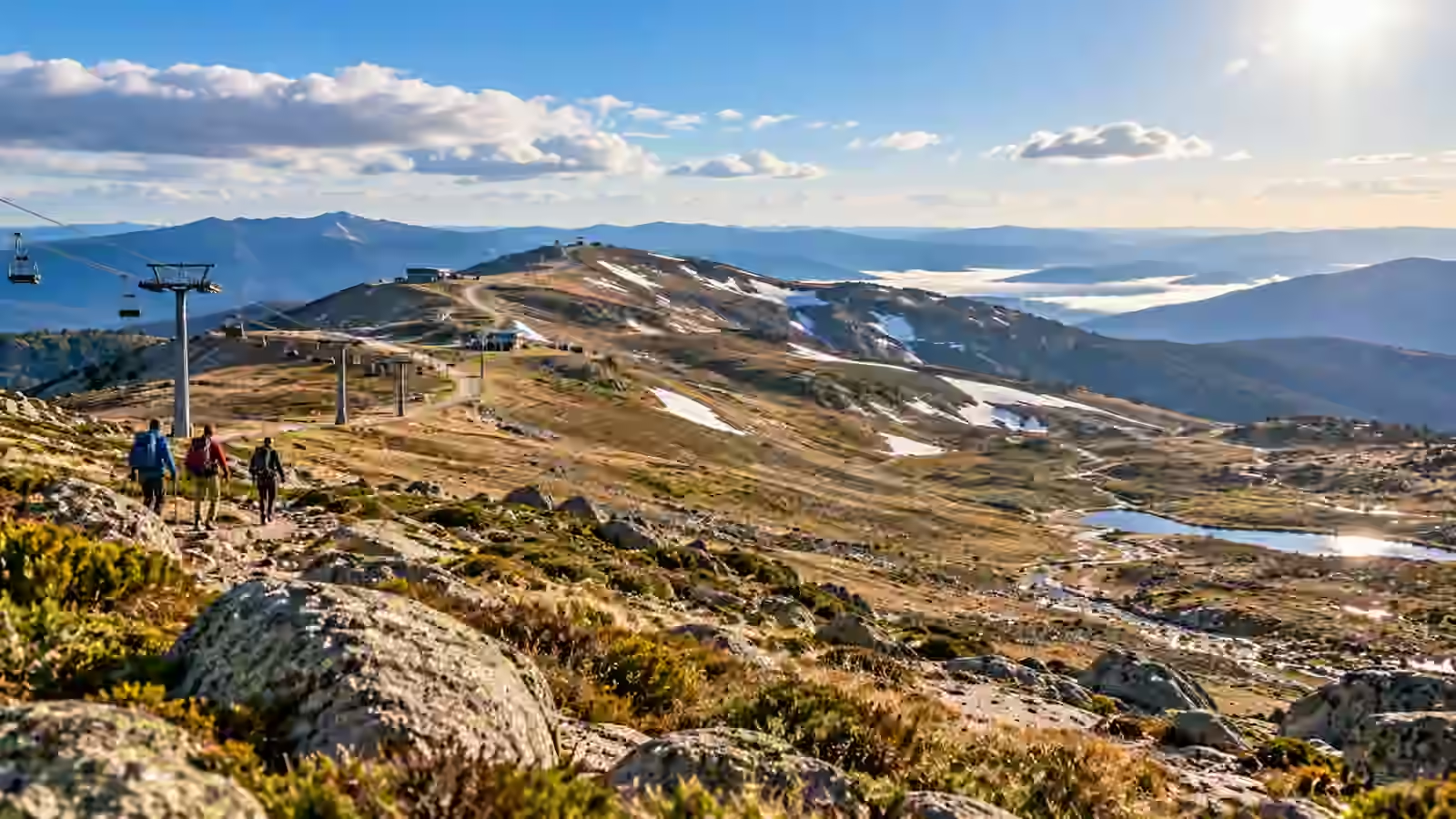
Australia has recorded its second-hottest September since national records began in 1910, with the national mean temperature 2.71°C above the 1961–1990 average. The Bureau of Meteorology also reports that national minimum temperatures were the highest on record for September. In the alpine region, the season ended with another striking marker: snow depth at Snowy Hydro’s Spencers Creek site fell to zero in September for the first time since measurements began in 1954.
The figures describe more than one unusually warm month. They combine extreme warmth, very dry conditions across much of the east and south-east, record-low late-season snow and a developing strong El Niño. At the same time, Western Australia experienced an exceptionally wet September, showing why a national climate summary can contain very different regional stories.
How hot was September 2026?
The Bureau of Meteorology says Australia’s area-averaged mean temperature was 2.71°C above the long-term September average. Only September 2013 was warmer in the national record. Maximum temperatures averaged 2.90°C above normal, the third-highest September result, while minimum temperatures were 2.52°C above normal and the highest on record.
Warm nights are particularly important because they reduce overnight recovery from daytime heat. They can increase heat stress for people, livestock and ecosystems even when daytime maximums do not break absolute records.
Was the warmth limited to one state?
No. The Bureau says every state and territory recorded an area-averaged mean temperature within its ten warmest Septembers. New South Wales, South Australia and Western Australia each had their second-warmest September on record.
South Australia and Western Australia also recorded their highest September mean minimum temperatures. That broad footprint is what makes the month nationally significant rather than a localised heatwave affecting only one region.
What happened to alpine snow?
The Bureau’s October-to-December outlook says the 2026 snow season saw record warmth across the alpine regions and that much of the season’s precipitation fell as rain rather than snow. At the Spencers Creek snow-depth site in New South Wales, snow depth fell to zero in September for the first time since records began in 1954.
Spencers Creek is one of the longest-running high-elevation snow records in Australia and is widely used as an indicator of natural snowpack in the Snowy Mountains. A zero September reading does not mean there was no manufactured snow on ski runs or no isolated snow patches anywhere in the Alps. It means the long-term natural snow-depth gauge reached zero unusually early.
Why does the snow record matter?
Snow depth affects more than skiing. Alpine snow stores water temporarily and releases it as temperatures rise. Changes to the timing and duration of snow cover can influence alpine vegetation, streamflow, soil moisture and habitats that depend on cold-season conditions.
The Bureau notes that maximum snow depth, snow cover and the number of snow days have all declined in Australian alpine regions since the late 1950s. The 2026 season fits into that broader long-term trend, although individual years remain highly variable.
Was September also dry?
National rainfall was 17% below the 1961–1990 average. New South Wales had its fourth-driest September on record, while Victoria had its sixth-driest. Rainfall across the Murray–Darling Basin was about 80% below average and ranked as the second-lowest September total in the historical record.
Dryness was particularly notable because it coincided with unusual warmth. Hot, dry and windy conditions can increase fire danger by drying vegetation and soils more quickly.
Why was Western Australia different?
Western Australia moved in the opposite direction. The state had its second-wettest September on record, with area-averaged rainfall 147% above average. Parts of the Goldfields and Southern Interior recorded unusually heavy rainfall from low-pressure systems and thunderstorms.
This contrast is a reminder that climate change and large-scale climate drivers do not produce the same weather everywhere at the same time. One side of the country can experience record warmth and dryness while another records exceptional rainfall.
What role did El Niño play?
The Bureau’s late-September climate-driver update shows a strong El Niño in the tropical Pacific. The relative Niño3.4 index was well above the El Niño threshold, and models expected further warming through spring and into summer.
El Niño commonly shifts rainfall and temperature probabilities across Australia, but it should not be treated as the sole explanation for every record. Long-term global warming raises the baseline temperature on which natural climate variability acts.
Did the month set local records too?
Yes. The Bureau lists numerous early-season and monthly temperature records. Sydney Airport reached 32.4°C on 5 September, an exceptionally early reading for the time of year. Later in the month, Adelaide recorded 34.4°C, its second-highest September daily maximum in more than a century of observations at the composite site.
Several stations in Western Australia, South Australia, Tasmania and New South Wales also set or approached September records for daytime or overnight temperatures.
What does this mean for bushfire risk?
A single warm month does not determine the entire fire season. Fire risk depends on fuel loads, soil and vegetation moisture, wind, humidity and the sequence of weather systems that follow.
However, the Bureau says soils became drier across many regions during September, particularly in the south-west and east. Warm, dry and windy periods had already contributed to elevated fire danger and bushfire activity in parts of New South Wales and Queensland.
What does it mean for water?
Low September rainfall and rapid drying can affect inflows into dams and rivers, but the water picture is uneven. The Bureau’s spring outlook notes that northern Murray–Darling Basin storages were around 55% full, while southern basin storages were higher after useful winter inflows.
Snowpack also plays a role in alpine catchments. When more winter precipitation falls as rain instead of snow, water arrives in rivers earlier rather than being stored in the snowpack until spring melt.
Is this proof of climate change?
No single month can by itself prove or disprove long-term climate change. Climate is evaluated across long periods and multiple lines of evidence. But the September results sit within a well-established warming trend in Australia and a documented decline in alpine snow cover and snow duration.
The significance of a record becomes clearer when the same type of change appears repeatedly across decades: warmer average temperatures, warmer nights and reduced snow persistence at high elevations.
What should travellers to the alpine region expect?
Travellers should check current park, road and resort conditions rather than assuming a traditional calendar. An early loss of natural snow can affect walking tracks, waterlogged terrain, fire conditions and the timing of resort operations.
Spring in the mountains can still change quickly. Cold fronts can bring snow even after warm periods, while strong winds and rapid temperature swings are common. Official weather and park warnings remain more useful than seasonal averages for a specific trip.
Key September numbers
- National mean temperature: 2.71°C above the 1961–1990 September average.
- Second-hottest September nationally since records began in 1910.
- National mean minimum temperature: 2.52°C above average, the highest on record.
- National rainfall: 17% below average.
- New South Wales rainfall: 80% below average, fourth-lowest September on record.
- Western Australia rainfall: 147% above average, second-wettest September on record.
- Spencers Creek snow depth reached zero in September for the first time since measurements began in 1954.
Sources
The Bureau of Meteorology’s official Australia in September 2026 summary provides the national temperature and rainfall rankings. The Bureau’s October to December outlook confirms the record-warm alpine season and the zero snow-depth reading at Spencers Creek.
More Australian environment, weather and public-interest coverage is available in Magazine.