On October 10, 2026, communities along the American Gulf Coast and farther inland were still assessing the damage after Hurricane Isaias made landfall near Destin, Florida, the previous evening. The National Hurricane Center estimated winds of 105 mph at landfall. Although the cyclone weakened as it traveled inland, flooding, power outages, damaged roads and dangerous conditions continued in multiple southeastern states. News reports of people without power and storm-related deaths have changed throughout the day as emergency officials gather information. This guide focuses on facts that can be traced to official reports and practical steps that residents and travelers can take without relying on a stale weather map or an invented restoration time.
Where did Isaias make landfall?
The National Hurricane Center issued a tropical cyclone update at 8:30 p.m. Central time on October 9 reporting landfall near Destin in the Florida Panhandle. Maximum sustained winds were estimated at 105 mph, corresponding to a Category 2 hurricane at that time. Strong gusts and dangerous water levels were also observed. These figures are historical observations at the coast, not a description of Saturday evening conditions in every town. When sharing a storm warning, always include the issuing agency and date. A forecast map that was correct at landfall may be misleading after the cyclone has crossed inland and changed intensity.
Why is the storm still dangerous inland?
The strongest coastal winds may subside as a tropical cyclone loses access to warm ocean water, yet rain bands can persist and waterways may rise later. Inland flooding can occur far from the place where a storm first crosses the coast. The Associated Press reported continuing risks of flash floods, tornadoes and hazardous winds as Isaias moved through Alabama and toward nearby states. Residents should follow alerts for their county, not only the location of the storm center. A river can be dangerous after a weather radar looks clear because water from upstream may arrive later. Never treat the end of a hurricane classification as an all-clear signal.
How many people lost electricity?
Reports from national news agencies described hundreds of thousands of affected utility customers across the Southeast. Numbers fluctuate as additional failures occur and repairs are completed, and separate publications may cite different reporting times or geographic coverage. A utility customer is an account rather than necessarily a single individual. For that reason, a headline should not be used to guess how many households in a particular neighborhood are currently without service. Check the outage map of the company serving your address, and only treat an estimated repair time as credible if it comes from the responsible operator. Crews may be unable to reach some damaged lines until roads are safe.
Generator use and carbon monoxide
Officials have warned repeatedly that improper generator operation can be deadly after storms. Portable fuel-powered generators must never run inside a home, garage, enclosed porch or other building, even with doors open. Exhaust contains carbon monoxide, an invisible and odorless poison. Follow manufacturer instructions and current safety guidance for the required distance from windows, doors and vents, and keep carbon monoxide alarms functioning. Only use properly installed electrical connections; feeding power into home wiring without suitable equipment can endanger utility workers and residents. If you suspect exposure, leave the building for fresh air and seek emergency assistance. A generator is not worth operating unsafely simply to keep a refrigerator running.
What should drivers do about flooded roads?
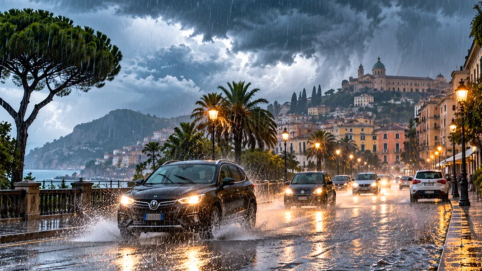
Do not enter floodwater by car or on foot. It may conceal a washed-out road surface, debris or energized equipment. The current can move vehicles even when the visible water seems shallow, and the depth may change quickly. Fallen trees and wires create additional hazards on routes that are not themselves flooded. State and county transportation departments are more useful for road closures than social-media screenshots showing last night's conditions. For essential journeys, verify a route immediately before leaving and obey local closure signs. A navigation app may not register newly damaged rural roads or temporary emergency restrictions as quickly as local authorities do.
What if you have a flight, hotel or rental car?
Flight schedules and airport access vary from one facility to another. The existence of a major hurricane does not automatically mean every airport in Florida or Alabama is closed, nor that a canceled flight must qualify for a particular refund. Check the specific flight and airline's current rules. Ask your accommodation about safe road access, electricity, water and any local evacuation order before traveling toward a damaged area. Keep confirmations offline in case mobile networks fail. Insurance and accommodation protections depend on policies and contracts, so avoid assuming a headline establishes your entitlement to a full refund.
Food, medicines and safe water after outages
A long outage can cause refrigerated food to become unsafe. Follow USDA and FDA time-and-temperature guidance, and discard food that cannot be verified safe rather than tasting it. Some medications require controlled storage; a pharmacist or clinician can explain the implications for a specific prescription. Communities may also issue boil-water or do-not-use notices after infrastructure damage. These are different instructions and should be followed exactly. Use current notices from the local water system, not a general social-media message. Keep drinking water, essential documents, phone charging options and prescribed treatments accessible, and check whether nearby health services are operating before traveling for routine care.
What homeowners should document for insurance
Once officials say it is safe to enter, take photographs of damage to buildings, vehicles and belongings before major cleanup. Keep records of temporary repair expenses and contact your insurer through its verified website or phone number. Coverage for wind damage, flooding and storm surge may be governed by different policy provisions or separate insurance products. Never assume all water damage qualifies under a standard homeowners' policy. Read your specific documents and request an explanation of any disputed decision. Be cautious of unknown contractors asking for large upfront payments, and verify their credentials before signing work agreements. Public assistance programs, if available, have their own eligibility rules.
How should residents read casualty and outage updates?
Storm casualty estimates are tragic but sometimes provisional while authorities investigate circumstances and confirm reports. Early and late news bulletins can have different figures without either necessarily being fabricated. Report the publication time and source with a number, and update it when officials provide a reliable revision. Similar caution applies to emergency declarations and school closures: each has a geographic and operational scope. A statewide declaration can help release resources without indicating that every locality experienced the same level of damage. A careful explanation avoids treating the worst-hit neighborhood as representative of the entire region.
Misinformation, scams and false donation links
Major disasters attract fake videos, fundraising pages and messages claiming that you must pay an urgent fee for an official rescue or utility repair. Confirm appeals with a known charity and the emergency service's actual website. Weather information should have a timestamp and named forecast office. When possible, use National Hurricane Center bulletins, local National Weather Service alerts and county emergency management notifications. Do not share bank details or identification documents with an account that contacts you unexpectedly. A dramatic photograph might have been taken in a different hurricane or a different year. A current, local advisory is more valuable for safety decisions than a viral clip.
Frequently asked questions about Isaias
Where did Isaias hit? Near Destin, Florida, on the evening of October 9, according to the NHC. Was it Category 3 at landfall? The official estimate of 105 mph indicates Category 2. Is the emergency over because the storm weakened? Not necessarily; floodwaters and damaged infrastructure can remain dangerous. When will my electricity return? Check your own utility's outage updates rather than a national estimate. Can I run a generator inside an open garage? No. Should I drive to a coastal town now? Follow local access restrictions and evaluate whether your journey is essential. Are all roads and airports closed? Conditions differ by location.
The priority for October 10 and the days ahead
The confirmed event is a damaging hurricane landfall followed by major disruptions as the system moved inland. The practical priority is reducing the risks that remain: avoid floodwater, never touch fallen wires, protect family members from carbon monoxide, verify drinking-water safety and use trustworthy local information. Repairs and official warnings can change hourly, so even a detailed article cannot substitute for the latest guidance at a specific address. Communities may recover at different speeds, and travelers should avoid adding unnecessary pressure to emergency services. Safety, clear records and reliable information matter more than a rapidly changing headline number.
Sources and further guidance
National Hurricane Center: landfall bulletin; Associated Press, October 10; Ready.gov hurricane safety. Read more in Life.